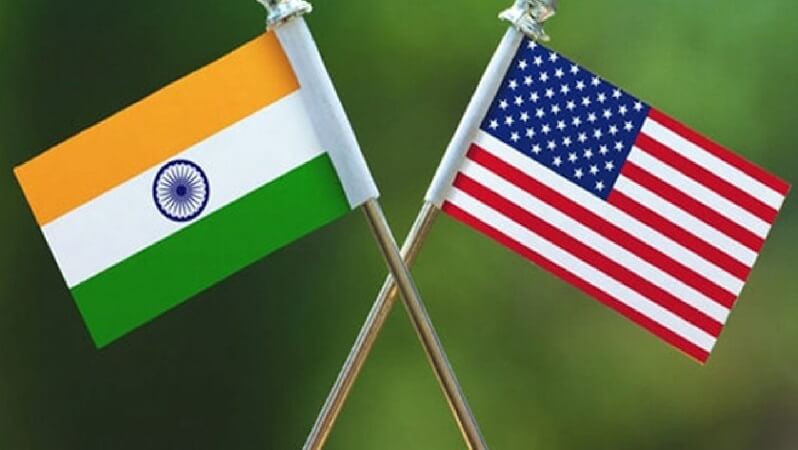
US Secretary of State Mike Pompeo and US Secretary of Defense Mark Esper will be visiting India on October 26-27 to meet India’s defence minister Rajnath Singh and External Affairs Minister S Jaishankar as part of the two-plus-two dialogue.
Malabar Turns Into QUAD As Australia Set To Join US, India & Japan In An Alliance Deemed Anti-China
India and the US are likely to ink the fourth military pact – Basic Exchange and Cooperation Agreement for Geo-Spatial Cooperation (BECA) during the meeting.
After the Logistics Exchange Memorandum of Agreement (LEMOA) in 2016 and the Communications, Compatibility and Security Arrangement (COMCASA) in 2018, this is the third and final foundational military pact between the two countries.
India had also signed General Security of Military Information Agreement (GSOMIA) with the US in 2002. While the pros and cons of BECA can only be described with the details from the signed documents but The Time of India has quoted officials as saying that the geospatial cooperation agreement will “enable the US to share advanced satellite and topographical data for long-range navigation and missile-targeting with India”.
Meanwhile, strategy and defence experts remain divided on the matter. There are fears that India may not be able to claim an independent foreign policy and strategy autonomy with the signing of the BECA. However, there are defence experts who are hailing the decision to sign BECA.
India government has termed the signing of BECA important because India is buying armed drones from the US. India will be placing an order for 30 armed drones MQ-9B Guardian from the US for nearly $3 Billion.
Former Indian Army Officer Pravin Sawhney explains that these armed drones are operationally tested, they can hellfire missiles, laser guided-bombs and its stands to reason that if they are to reach the target pinpoint then they should be given accurate coordinates, and this is possible with geospatial cooperation with America.
What is Geospatial Cooperation?
The main thing in geospatial cooperation is Geography Information System, wherein the US will be giving the military aspects of geography which is the terrain capabilities, weather, topography, so that better mission planning can be done. Satellite imagery will be part of this as well as the military GPS data.
Sawhney says: “This data is critical for the accuracy of any missile. The data will not directly go to the armed drone, but to a central place. This data is classified and will come as part of the secure wireless network, which will be given through the equipment, which has been given to India through COMCASA.
It will be a combination of BECA giving the data and COMCASA delivering the data to the command post, where there will be options that which missile should take on which target”.
India has been in a border stand-off with China since the first week of May in the northern border, while the Western border continues to witness unprecedented shelling from Pakistan near the Line of Control.
Even if India becomes a military partner of the US in its venture to secure Indo-Pacific, Indian leadership, as well as the security forces, are aware that no country will come to fight its war. In such a scenario, the same data can be used for India’s indigenous cruise missiles, rockets, in the case of a two-front war with Pakistan or China.
Earlier this month, the Indian Air Force chief Air Chief Marshal RKS Bhadauria was asked if the US will be helping India deal with any security challenge, the IAF Chief said the US deployments are based on their perspective and “we will do whatever is required. Nobody is going to fight our war”.
Serious Concerns on Data
In January 2009, India was test-firing the BrahMos supersonic missile but to the surprise, the test failed due to an erroneous GPS calculation.
Further, the investigation had revealed that the US had switched off the GPS signals due to security reasons during the swearing-in ceremony of President Barack Obama, which resulted in the test failure.
Jointly developed by India and Russia, BrahMos is an anti-ship missile which can hit targets 290km away and can cruise at a particular altitude at Mach 3 (three times the speed of sound). The January 2009 mission had required the missile to hit the target at 50km but it was missed.
As per India’s Defence Research and Development Organisation (DRDO), the supersonic missile being tested at Pokhran in Rajasthan travelled for 112 seconds instead of the slated 84 seconds and fell 7 km away from the target.
While India-US inch closer on signing BECA which will provide data for precise targeting but the incident like this raises serious concern for New Delhi as it may occur again at some unfortunate point when India is at a war.
Similarly, another concern with regard to sharing data with the US is that the systems or equipment installed may have malicious software or cyber bots, which can cause a huge disadvantage to India in a longer run. Sawhney says that the mission plans can be easily extracted in such systems and this needs to be considered while signing.


