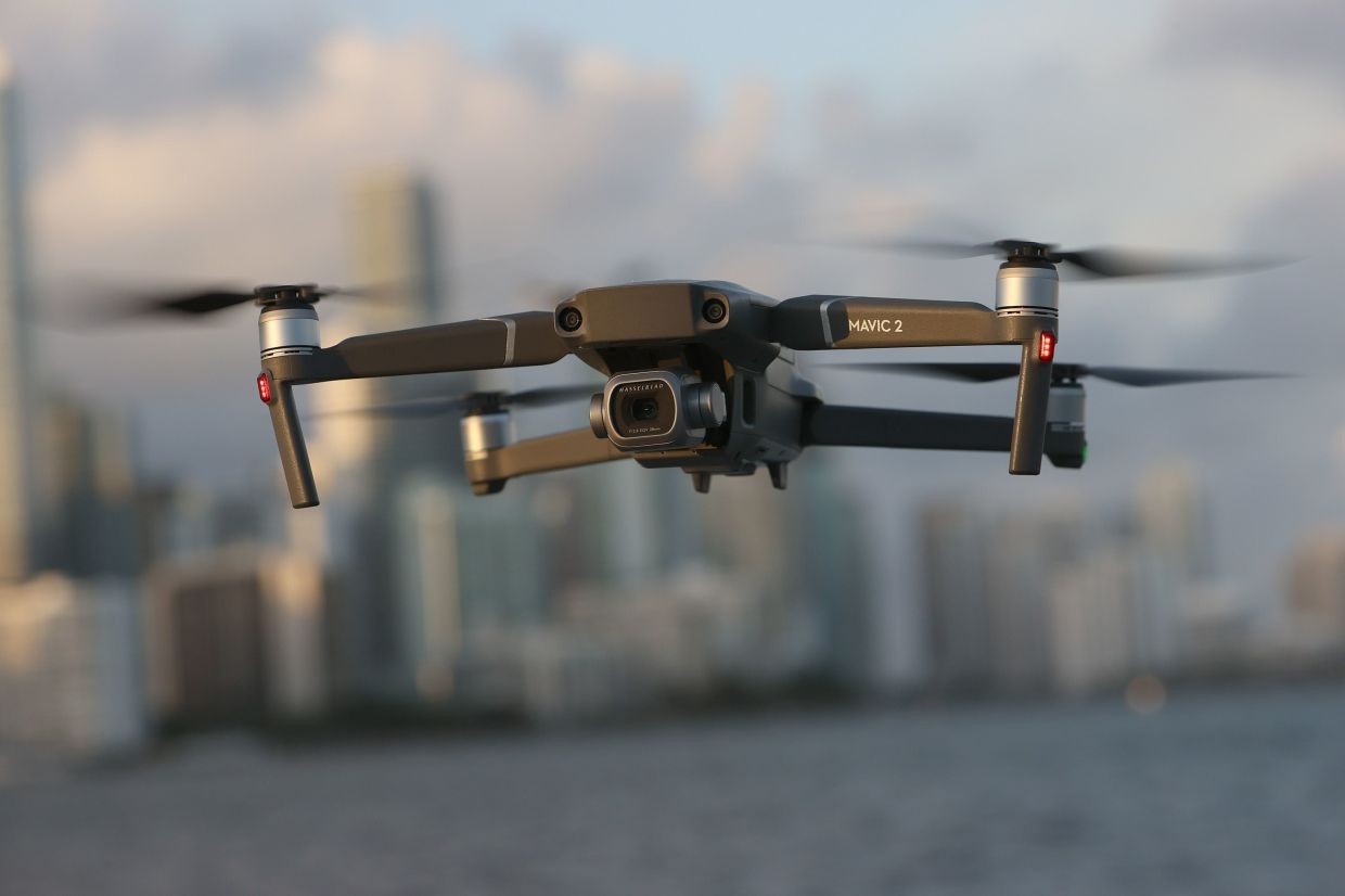
Even as the Federal Bureau of Investigation (FBI) and the US Federal Aviation Administration (FAA) were still trying to locate the operator of a DJI drone that illegally collided with an aircraft involved in a firefighting operation in Los Angeles, the Chinese drone maker has made an announcement that can increase the US’ woes.
The globally dominant Chinese drone manufacturer has removed the ‘geo-fencing’ from its drones. This is akin to turning off the controls in its drones worldwide, which prevented them from flying into no-fly zones like airports, military bases, and disaster response zones.
The DJI announced that the changes had turned restricted zones or no-fly zones in the US into “enhanced warning zones, aligning with the FAAs’ designated areas.”
Geo-fencing was implemented in 2015 after a DJI drone accidentally crashed into the White House Lawn. After that, DJI drones shipped to the US had software that prevented them from taking off in or flying into certain constantly updated restricted areas, including national security locations around Washington and overactive wildfires and other disasters in temporarily restricted areas.
DJI has updated its software, which turned off the hard geofencing feature and substituted an in-app alert that pilots can choose to ignore. This update follows similar changes implemented in the European Union (EU) last year.
Now, the majority of DJI’s geofencing restrictions and recommendations have been removed from the DJI Fly, DJI GO 4, and DJI Pilot apps, as well as DJI’s own Fly Safe website.
This provides operators with more freedom to fly without requiring an unlock from DJI. For older models, such as the DJI Phantom 3 Series and older, the DJI Inspire 1, and the DJI Matrice 100 and 600, users can submit an unlocking request without uploading an authorization file to unlock a restricted zone.
DJI dominates the US consumer drone market, and its drones are operated in over 100 countries. The move seeks to give “control back in the hands of the drone operators, in line with regulatory principles.”
The Chinese drone maker contends that drone regulations have significantly changed since 2001. The newly federally mandated Remote ID solution—a sort of license plate for drones—makes “detection and enforcement [of rogue drones] much easier.”

The DJI software update has been effective since January 13, 2025, and the responsibility of navigating the controlled airspace has been placed squarely on the shoulders of the drone operators. The new update, the DJI contends, has been done to align it with FAA rules, and drone pilots will now comply with regulations.
DJI has underscored that drone operators should be connected to the internet and update their flight apps regularly to maintain current airspace data to ensure safe drone operations.
The drone operations in the US have been under scrutiny after a DJI Mini drone collided with a “Super Scooper” firefighting aircraft combating a wildfire in Los Angeles. The accident caused significant damage and raised concerns about the risks of unauthorized drone flights during emergency operations.
This has created concern in the US security apparatus as several rogue drones were sighted over New Jersey just last month. The announcement that comes just a week before Donald Trump’s swearing-in could adversely impact Chinese drones operating in the American market.
On January 3, the US Commerce Department published an advanced notice of proposed rulemaking that appears to represent the first step toward a more comprehensive ban on foreign-made drones in the United States.
However, there is no affordable or equally capable American or European substitute for Chinese-made consumer drone technology.
Small US-made drones are more expensive than those made by China’s DJI. US drone manufacturer Teal (which is on the official Pentagon-approved Blue UAS Cleared list) sells its flagship Teal 2 drone for around USD 16000 per unit. In contrast, the comparable Chinese-made DJI Mavic 3 Thermal Enterprise sells for around USD 6,000 per piece.
Switching Off Geo-Fencing
DJI first introduced the Geospatial Environment Online (GEO) system in 2013 when consumer drones were coming on the horizon. Formal drone flight rules and regulations were few.
The geofencing system was created as a voluntary built-in safety feature to help foster responsible flight practices and prevent DJI drone operators from unintentionally flying in restricted airspace, such as around government buildings, airports, or prisons.
To ensure safe drone operations, DJI has installed advanced safety systems in its drones, including altitude limits and GPS-based geofencing to guide drone pilots away from unsafe locations, autonomous return-to-home technology if drones lose connection to their controllers or have critically low batteries, sensors for nearby obstacles and approaching aircraft, and Remote Identification technology to help authorities identify and monitor airborne drones.
Over the years, the rules and regulations vis-à-vis drones have evolved. National aviation authorities, including the European Aviation Safety Authority (EASA) in the EU, the UK Civil Aviation Authority (CAA), and the FAA in the US, have established comprehensive geographical zones for unmanned aircraft systems (UAS) and enforce drone regulations.
Since January 2024, this GEO update has been active in the UK and several EU countries. It started with European countries that have implemented geographical maps that are compliant with existing technical standards, such as Belgium, Germany, and France.
In June, it expanded to Estonia, Finland, and Luxembourg. The remaining EU countries under EASA jurisdiction will also receive the update this month.


