Warships from the US Sixth Fleet joined France and four other NATO allies in an annual French-led maritime exercise in the Mediterranean, the navy said on Wednesday.
“The U.S. forces joined Italian, Greek, Spanish, and the U.K. maritime forces to develop high-end carrier strike group-level warfighting interoperability and proficiency among the NATO allies during France’s maritime exercise,” the navy said in the press release.
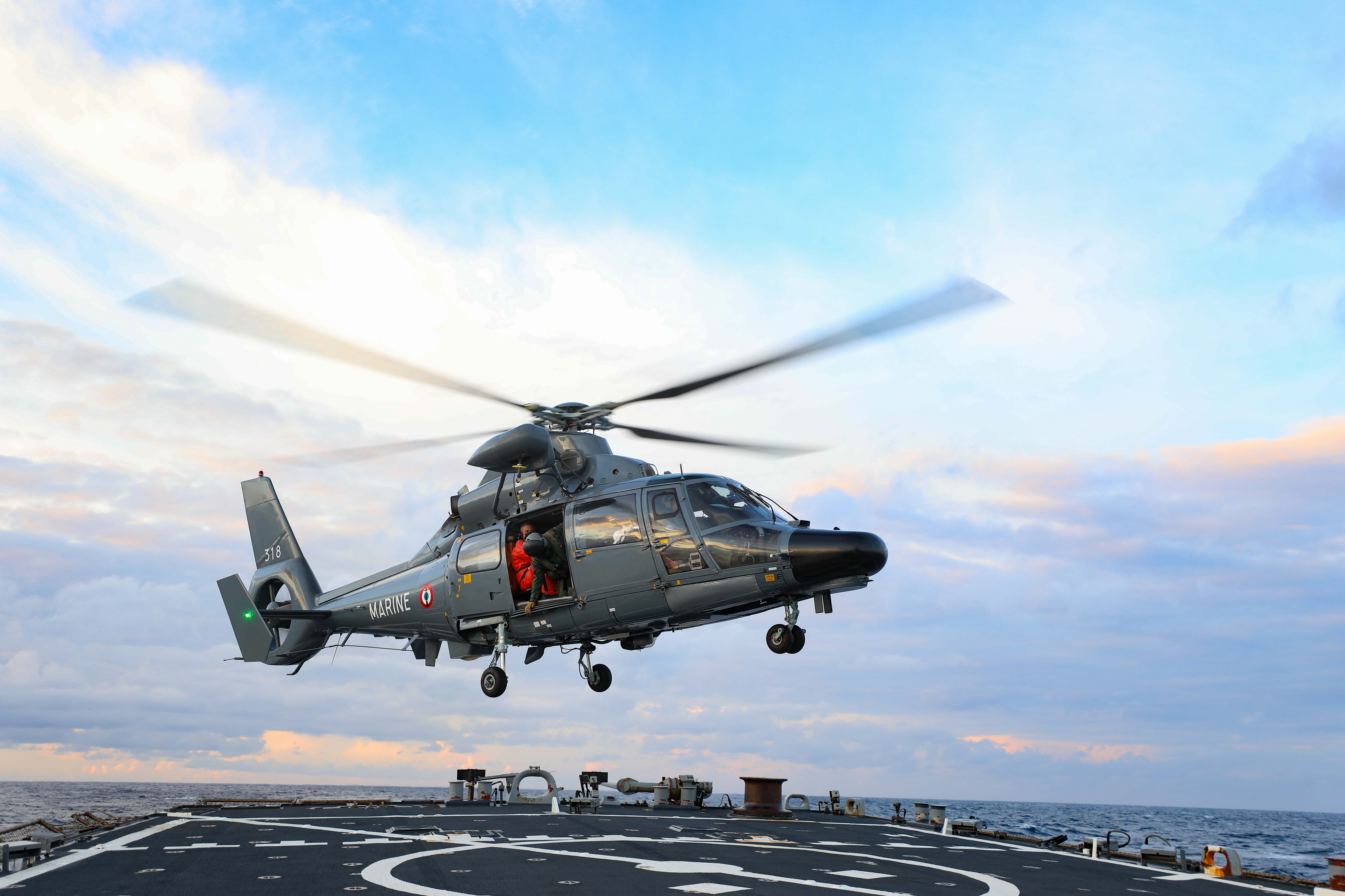
The Arleigh Burke-class guided-missile destroyer Porter (DDG 78), a Navy P-8A Poseidon aircraft and the fleet replenishment oiler John Lenthall joined the exercise on Monday, four days after the exercise commenced on November 18, the release said.
French units scheduled to participate in the Polaris 21 exercise include French aircraft carrier Charles de Gaulle, other French ships and units from the French army and air force, the release added.
NATO participation includes the Italian Navy destroyer Carlo Bergamini, the Spanish Navy destroyer Mendez Nunez, the Hellenic Navy frigate Adrias, and UK Royal Navy destroyer HMS Dragon (D35), the release said.
Increasingly, NATO allies are expanding their high-end maritime warfighting capabilities by integrating into multi-national exercises and carrier strike group deployments, according to the release.
Other recent integration examples for the US Navy include Porter’s participation in the UK Royal Navy’s Fleet Operational Sea Training exercise, and The Sullivans integration into the UK Queen Elizabeth aircraft carrier deployment, the release said.
US Seeks To Plug Arctic Gap in GPS With New System Using Cosmic Rays – Navy
Scientists from four nations are attempting to develop a new navigation system, as accurate as the global positioning system (GPS), that uses radiation from outer space instead of satellites, the Office of Naval Research said on Wednesday.
“A team composed of researchers from Japan, UK, US and Finland… will be using a natural source of radiation called cosmic ray muons as an alternative to the satellite-derived GPS signals,” the Office of Naval Research said in a press release.
The team won a recent contest calling for international projects to address capability gaps in GPS coverage in polar regions. The competition was jointly sponsored by the Office of Naval Research and the US Army Development Command, the release said.
“The ability to navigate in Polar Regions will be of increasing importance in the coming decades as climate change is opening up Arctic waterways to commercial and military activities,” team leader Chris Steer said in the release.
After initially testing the system in a large water-immersion tank in the United Kingdom, the project will move to Finland to deploy into an Arctic lake that is covered by one meter of ice, the release said.
Muons are subatomic particles able to pass through rock, buildings, earth and underwater – areas where GPS communications cannot be received, the release added.
While the release focused on potential scientific applications in underwater environments, tunnels and other underground settings, it made no mention of the obvious military implications of a navigation system in a future conflict, in which adversaries could attempt to disable existing GPS satellites.
- Via Sputnik News Agency
- Follow EurAsian Times on Google News


