
India will create an airspace map to manage non-military unmanned aircraft systems (UAS), days after a drone attack at the Jammu Air Force Station.
India’s Ministry of Civil Aviation Ministry has issued Draft Drone Rules 2021 for public consultation, after which the guidelines will be finalized. However, these rules will not apply to UAVs used by the Indian armed forces.
The draft rules shall apply to all persons owning, possessing, or engaged in the export or import, manufacture, trading, leasing, operating, transferring, or maintaining drones in India, and all the drones being operated in the country, at present.
According to the draft rules reviewed by The EurAsian Times, the drone operation will be managed through an airspace map, which will be published by the federal government within 30 days of the notification of the rules on the ‘Digital Sky’ platform.

The Digital Sky is an online platform hosted by the Directorate General of Civil Aviation for various activities related to the management of drone operations in the country. The draft rules state that “the airspace map for drone operations will segregate the entire airspace into red, yellow and green zones, with a horizontal resolution equal or finer than 10 meters’.
The airspace map for drone operations will be accessible through a machine-readable Application Programming Interface (API). This is expected to enable the pilots to plot their proposed flight plan and identify the different zones so that they could assess the requirement of an application for prior approval.
After US, Now South Korea Wants Israeli Style ‘Iron Dome’ To Protect Against Kim’s Shelling
It also states that before any drone operation, the drone operator must check the Digital Sky platform for any notification or restriction to drone operations in the area.
The Airspace Map
The draft drone rules state, “The Green Zone is the airspace from the ground up to a vertical distance of 400 feet (120 meters) above ground level (AGL) that has not been designated as a red zone or yellow zone in the airspace map for drone operations, and the airspace from the ground up to a vertical distance of 200 feet (60 metres) AGL in the area located between a lateral distance of 8 kilometers from the perimeter of an operational airport.”
The provision of Yellow Zone will apply to “the airspace above 400 feet (120 meters) AGL in a designated green zone and the airspace above 200 feet (60 meters) AGL in the area located between the lateral distance of 8 kilometers and 12 kilometers from the perimeter of an operational airport”.
The Yellow Zone is the controlled airspace of defined dimensions above the land areas or territorial waters of India within which drone operations are restricted and require permission from the air traffic control authority.


The Red zone, the draft rules mention, is the airspace of defined dimensions, above the land areas and territorial water of India, or any installation or notified port limits specified by the central government beyond the territorial waters of India, within which drone operations will be permitted only under exceptional circumstances by the central government.
A temporary Red Zone may be formulated by government agencies. The draft rules state that drone flights may be temporarily prohibited in a specified area, by the state government, union territory administration. The temporary red zone will not exceed 48 hours and will be notified through the digital sky platform and highlighted on the airspace map.
Also, the federal government can update the airspace map on Digital Sky for drone operations from time to time besides changing the status of an area.
The draft rules clearly state that “no person shall operate a drone in India unless it conforms to a certificate of airworthiness or is exempted from the requirement for a certificate of airworthiness under these rules”.
However, a certificate of airworthiness will not be required for the manufacturing, importing or operating a prototype drone for research and development or a nano drone.
In a major fillip to the drone industry, I am happy to present the Draft Drone Rules 2021 that mark a stark shift from the earlier UAS Rules. 10 key takeaways:
✅ Several approvals abolished & processes made easier
✅ No. of forms reduced from 25 to 5
1/4— Jyotiraditya M. Scindia (मोदी का परिवार) (@JM_Scindia) July 15, 2021
The rules further state the objective of promoting the adoption of drones through the creation of a Drone Promotion Council. The Council will help develop a business-friendly regulatory regime, establish facilities for the development of drone technologies, involve industry experts and academic institutions in policy advice and organize competitive events involving drones and counter-drone technologies.
Newly appointed Civil Aviation Minister Jyotiraditya Scindia said that the policy will provide a big boost to the drone industry in the country.
Indian Army Pushes Govt On ‘Urgent’ Acquisition Of Russian Ka-226 Helicopters
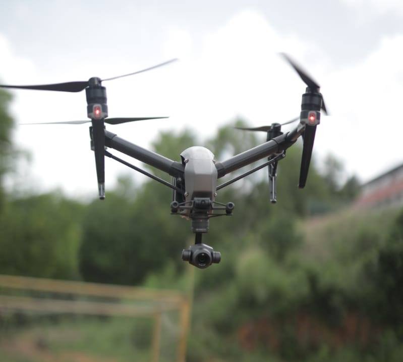
India’s Drone Industry
India is one of the top drone importing nations, with limited funding in drone start-ups, according to Analytics Insight.
A report by Inc42 DataLabs highlights that the total funds raised by the drone start-ups in India was $16.56 million, accounting for about 2.26 percent of the total deep tech funding from 2014-2018. The report also mentioned that while 50 drone start-ups began their operation in the country, 10 had to discontinue their operations.
Apart from limited funding and innovation, the Indian drone industry also faced government restrictions. In 2014, the federal government had imposed a ban on the use of UAVs. While the ban was revoked in 2017, and DGCA issued draft norms for the use of Remotely Piloted Aircraft Systems (RPAS) in 2018.
Drone sightings during lockdown… pic.twitter.com/kN3a4YCJ5D
— Kerala Police (@TheKeralaPolice) April 7, 2020
In the civilian sector, drones can be used for varied purposes – surveying and monitoring, gathering spatial data, aerial surveillance of forests and agriculture among others. In the past year, drones have been used by civic authorities in many cities for Covid-related work.
For instance, the Mumbai police used the drones manufactured by a city-based company, Sagar Defence Engineering, to manage the densely-populated Dharavi area of the city, reported Forbes.
Why China’s Military-Linked Firm Is Storing Genetic Data Of Tibetan And Uyghur Women?
Rather than moving into the area, the police deployed the drones to urge people to follow the lockdown protocols.
Chennai-based firm, Garuda Aerospace, helped the Rajasthan government fight the locust attacks last year. The drones were used to spray insecticides. Subsequently, the firm secured a contract to spray disinfectants in public spaces in 26 cities in India to tackle the pandemic.


